Appalachian Trail — Great Smoky Mountains
Overview
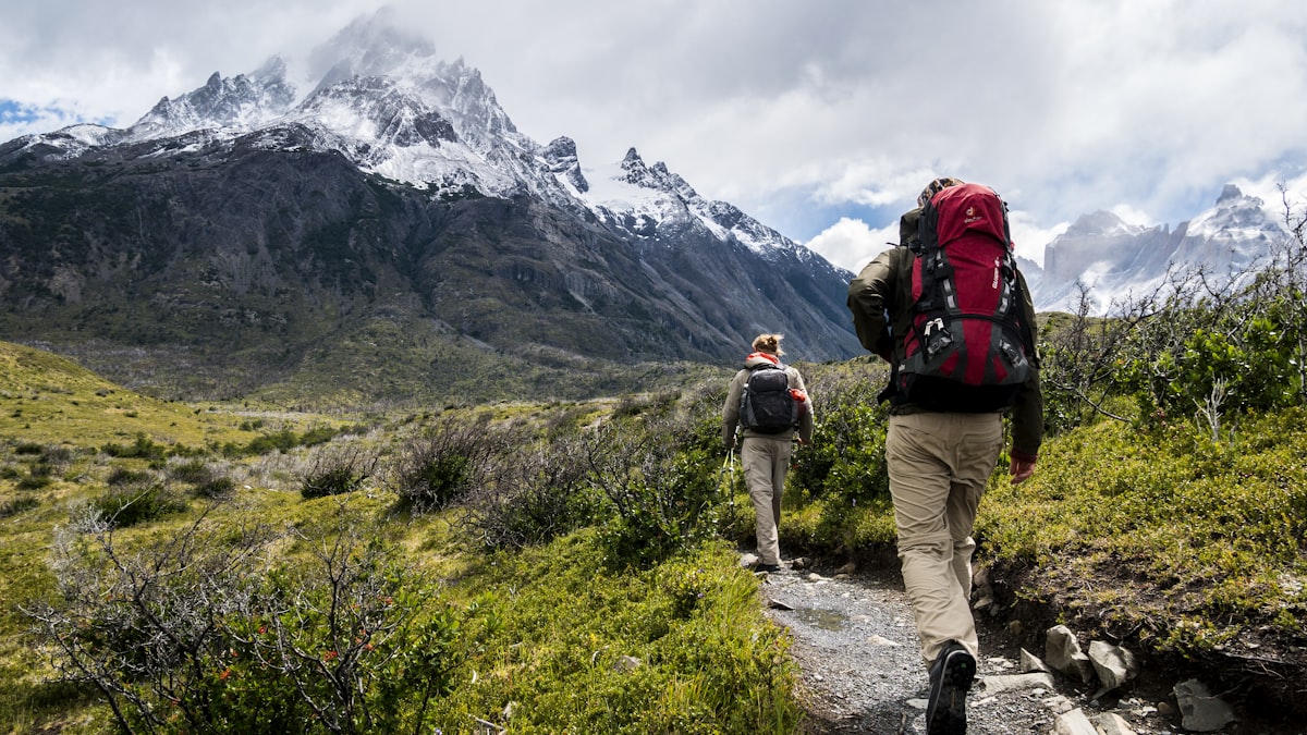
The Appalachian Trail through Great Smoky Mountains National Park is the most popular section of America's most famous long-distance trail. This 71-mile stretch traverses the heart of the Smokies — the most biodiverse national park in the temperate world. You'll walk through ancient forests, across grassy balds with 360° views, and past historic pioneer cabins. Black bears, wild turkeys, and synchronous fireflies call these mountains home.
Duration
5-7 Days
Distance
110 km (71 miles)
Max Altitude
2,027m (6,643 ft)
Best Season
May-Oct
Highlights
- Walk the most biodiverse national park in the temperate world
- Cross Clingmans Dome — highest point in Tennessee (6,643 ft)
- Camp on grassy balds with 360° views
- See historic pioneer cabins and churches
- Spot black bears and wild turkeys
- Experience the legendary AT through the Smokies
Itinerary
Fontana Dam to Spring Mountain Shelter
Start at Fontana Dam. Climb through forest to Spring Mountain Shelter. First night on the AT.
Spring Mountain to Double Spring Gap
Traverse ridgeline with Smoky Mountain views. Pass through old-growth forest to Double Spring Gap.
Double Spring Gap to Charlies Bunion
Walk the ridgeline with stunning views. Reach Charlies Bunion — a dramatic rocky outcrop with panoramic views.
Charlies Bunion to Icewater Spring
Continue along the ridgeline. Pass through spruce-fir forest to Icewater Spring shelter.
Icewater Spring to Clingmans Dome and beyond
Summit Clingmans Dome (6,643 ft) — highest point on the AT. Descend to Pecks Corner shelter.
Pecks Corner to Newfound Gap
Descend through forest to Newfound Gap — the TN/NC border. Resupply possible at road crossing.
Newfound Gap to Gatlinburg or Fontana
Descend to Gatlinburg for resupply and town food, or continue to Fontana to finish.
Safety Information
Black bear country — proper food storage required. Weather changes rapidly at elevation. Shelters available every 8-10 miles. Well-maintained trail.
Nearest Hospital
LeConte Medical Center (Sevierville)
Emergency Contacts
- Park Dispatch: 865-436-1230
- 911
Packing List
Essentials
- Bear canister or hang bag
- Water filter
- Tent or hammock
- Sleeping bag
- Stove
Clothing
- Rain gear (essential!)
- Warm layers
- Hiking boots
- Hat and gloves
Safety
- Bear spray (optional)
- First aid kit
- Map/GPS
- Headlamp
Weather by Month
| Month | High | Low | Rainfall | Rating |
|---|---|---|---|---|
| Jan | 40°F | 20°F | Snow/Rain | Avoid |
| Feb | 45°F | 22°F | Snow/Rain | Avoid |
| Mar | 55°F | 30°F | Rain | Moderate |
| Apr | 62°F | 38°F | Rain | Good |
| May | 70°F | 45°F | Moderate | Best |
| Jun | 78°F | 52°F | Moderate | Best |
| Jul | 82°F | 58°F | Moderate | Best |
| Aug | 82°F | 56°F | Moderate | Best |
| Sep | 75°F | 48°F | Low | Best |
| Oct | 65°F | 38°F | Low | Best |
| Nov | 52°F | 28°F | Rain | Moderate |
| Dec | 42°F | 22°F | Snow/Rain | Avoid |