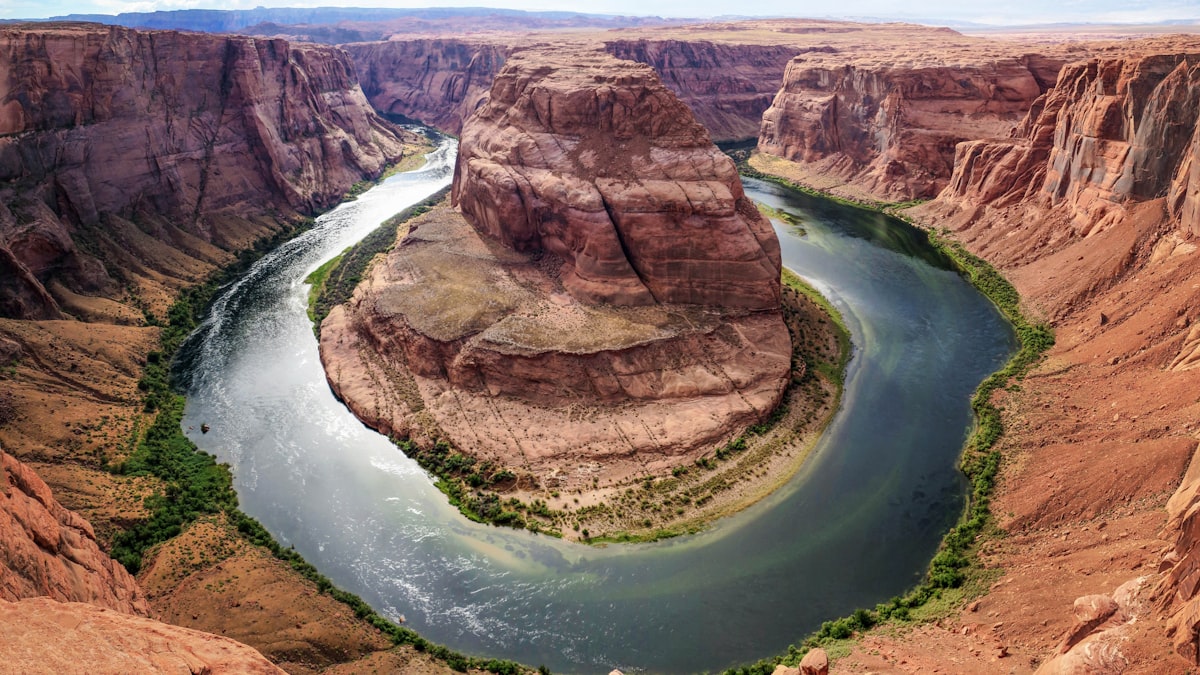
Grand Canyon Rim-to-Rim
Overview
The Grand Canyon Rim-to-Rim is one of America's most iconic hikes — descending from the North Rim through 2 billion years of geological time to the Colorado River, then climbing back up to the South Rim. You'll traverse desert, forest, and everything in between, experiencing temperature swings of 30°F+. This isn't just a hike; it's a journey through Earth's history. The trek demands respect — extreme heat, steep gradients, and limited water make this a serious desert crossing.
Duration
2-3 Days
Distance
42 km (26 miles)
Max Altitude
2,468m (8,091 ft)
Best Season
May-Jun, Sep-Oct
Highlights
- Descend through 2 billion years of geological history
- Stand on the Colorado River at the canyon floor
- Experience dramatic temperature and ecosystem changes
- Cross one of the world's most iconic landscapes
- Camp under the stars at Bright Angel Campground
- Walk through the historic Phantom Ranch
Itinerary
North Rim to Bright Angel Campground
Start at North Rim (8,241 ft). Descend 5,761 feet through North Kaibab Trail — cottonwood groves, roaring springs, and the Inner Gorge. Camp at Bright Angel Campground near the Colorado River.
Bright Angel Campground to South Rim via Bright Angel Trail
Cross the river and climb 4,380 feet via Bright Angel Trail. Pass through Indian Garden, three rest houses, and the iconic switchbacks. Reach South Rim at Bright Angel Trailhead.
Safety Information
Extreme heat in summer (120°F+ at canyon floor). Carry ample water (1 liter per hour). Spring/fall recommended. Emergency evacuation via helicopter. No cell service in most areas.
Nearest Hospital
North Rim Clinic / Flagstaff Medical Center
Emergency Contacts
- Grand Canyon Dispatch: 928-638-7805
- NPS Emergency: 911
Packing List
Essentials
- 6-10 liters water capacity
- Water purification
- Electrolyte tablets
- Sun protection (hat, sunscreen, sunglasses)
- Headlamp
Clothing
- Lightweight breathable clothes
- Warm layer for rim
- Rain jacket
- Sturdy hiking boots
- Gaiters (optional)
Safety
- First aid kit
- Emergency whistle
- Map/GPS
- Emergency blanket
- Satellite communicator (recommended)
Weather by Month
| Month | High | Low | Rainfall | Rating |
|---|---|---|---|---|
| Jan | 43°F | 18°F | Low | Avoid |
| Feb | 48°F | 21°F | Low | Avoid |
| Mar | 55°F | 27°F | Low | Moderate |
| Apr | 65°F | 33°F | Low | Good |
| May | 75°F | 42°F | Low | Best |
| Jun | 85°F | 50°F | Moderate | Best |
| Jul | 90°F | 55°F | Moderate | Avoid |
| Aug | 88°F | 54°F | Moderate | Avoid |
| Sep | 80°F | 47°F | Low | Best |
| Oct | 68°F | 36°F | Low | Best |
| Nov | 55°F | 27°F | Low | Moderate |
| Dec | 45°F | 20°F | Low | Avoid |